


Meet Victor Coll, a seasoned expert in the art of in-bound content marketing. With a proven track record in crafting winning content strategies, Victor excels in attracting and engaging audiences organically. His proficiency extends to optimizing content for maximum impact, resulting in increased brand visibility and audience retention. Victor's dedication to the art of in-bound content marketing has helped businesses achieve remarkable growth. Join him as he shares invaluable insights and strategies to empower your content marketing efforts and drive meaningful connections with your target audience.
Get in touch
555-555-5555
mymail@mailservice.com
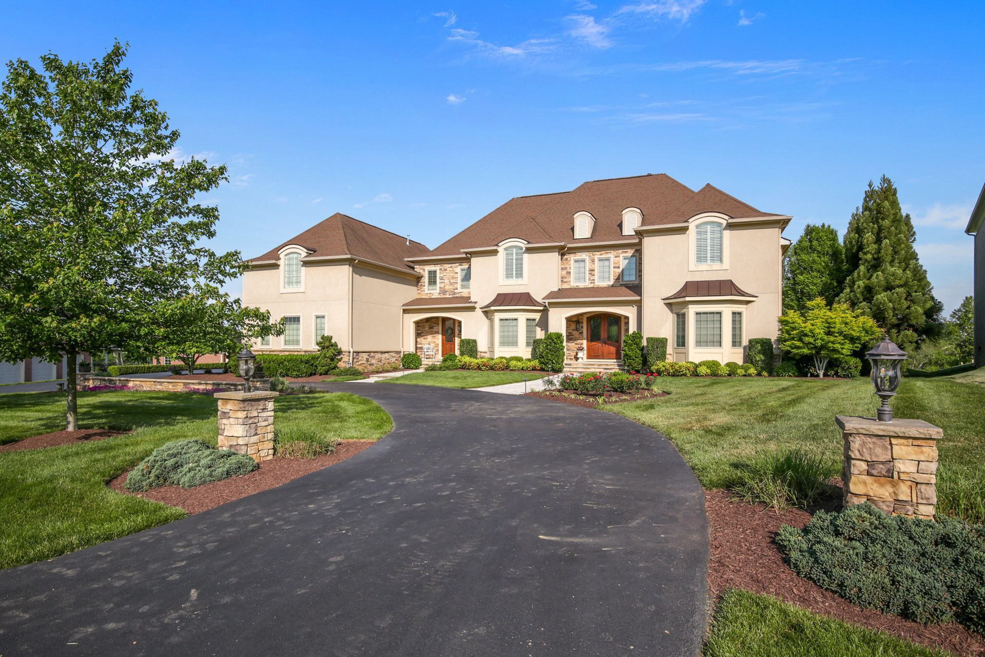
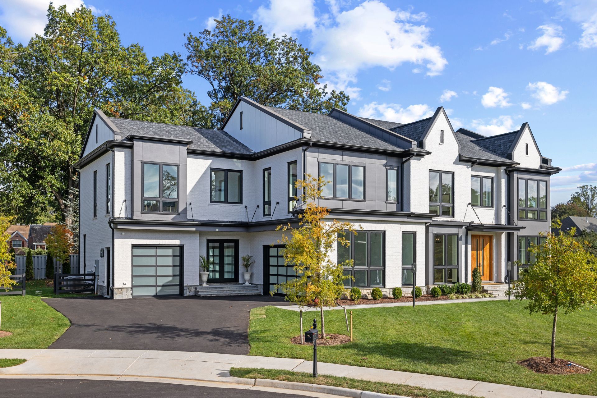
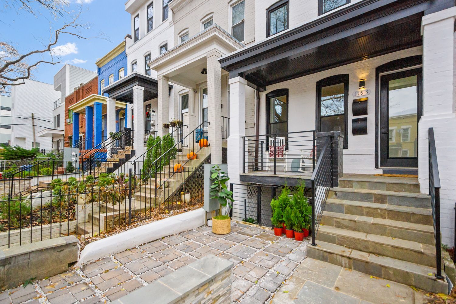
Complete Guide to Commercial Real Estate Photography
AN EDUCATED CUSTOMER IS ALWAYS THE BEST CUSTOMER
Location effects commercial real estate marketing, as does the quality of the photography. Whether the photos are taken on the ground or in the air, the latest digital techniques make a store, restaurant, or other venue feel real and ease the sale process.
Have a Commercial Project to discuss? We would love to hear from you.
The best commercial real estate photography methods and technologies can give your real estate listings a boost for greater impact on potential buyers. These are some options.
Digital Photography, 3D Tours, and Aerial Photography
Some types of photography, depending on your needs and budget, may suit your marketing better than others.
Digital camera photography:
Standard digital cameras capture clear images, but have limited features. Digital single-lense reflex (DSLR) cameras produce higher resolution shots with different lenses and settings for quality effects in any lighting. They’re used in professional standard listing photography
. High Dynamic Range (HDR) photography involves more advanced shooting techniques, with three or more photos of the same scene taken at different exposures. Many smartphones now have this feature. The best parts of HDR photos are then merged into one using editing software for vibrant colors and greater depth and contrast, yielding a life-like image.
Matterport 3D Tours:
These virtual reality tours
are like Google Street Views of properties, including floor-plan and dollhouse views, which make people feel like they’re there – other types of photography can’t easily duplicate this. You can even connect your
Matterport 3D tour to the Google Street View platform and it will be visible on Google Maps, Google Earth and the Google Street View app. This can be useful for retail, restaurants, museums, landmarks, apartment complexes, hotels, resorts, and office spaces.
Aerial drone photography:
The best way to capture large land parcels and the outside of properties is by air. Cost-effective and time saving, aerial
drone photography
provides sweeping views of expansive land or water-oriented properties, and gives a birds-eye view above everything. They can show proximity to roadways, other land parcels, shopping centers, and cities. Drone use doesn’t require a pilot’s license, however, for drones under 55 pounds, the Federal Aviation Administration (FAA) requires drone flyers 16 years old and older to get a remote pilot certification.
FAA rules of drone operation include flying under 400 feet above ground and staying within 400 feet of a structure during operation, yielding to the right of way to planes, helicopters, and other manned aircraft. The speed is limited to less than 100 miles per hour. The FAA doesn’t require drone operators to be insured. For protection against potential injuries and property damage, hobbyists who own homes might be able to get insured under their homeowner’s insurance. For business purposes, you could need commercial insurance which includes coverage for personal injuries, and owners of drones might also need aircraft insurance to cover potential damage to the drone.
Outsourcing vs. D.I.Y.
Whether you take pictures yourself or hire a professional, both have benefits and limitations.
Do-it-Yourself: Shooting your own photos can be easy, yet take time, and in some cases, just pointing your camera and clicking might not capture the best view of a property, especially if you lack adequate skills and knowledge. You might need to invest in a good digital camera rather than using a smartphone. A DSLR camera averages $400 to $1,000, not including any additional lenses, lighting equipment and tripod. Aerial drone photography licensing costs less than $200 (for drones under 55 pounds) and there is a small registration fee for the drone; insurance can average $1,000 yearly, depending on your coverage. A quality drone with a high-resolution camera averages $1,500, but can be $15,000.
Even professional photos require some editing, and the average cost for the best software, such as Adobe Photoshop, is $100.
Professional photography: A professional photographer can save you time and has the talent to take photos that will highlight your properties’ potential. Pros also offer online photo galleries for you to share with potential buyers. Professional photography, including aerial photos, is often sold in packages, which may make it more cost-effective, especially if you need a lot of work done at once. Drone packages can offer videography and twilight photography that enhance visual appeal and impact. Professional drone operators are usually insured, but it’s good to check.
Standard listing photography packages may cost as low as $50.00 and as little as $250.00 per aerial drone photography shoot, depending on the type of building being photographed, your needs, any editing, and extras.
A professional photographer will also have the skills and training to edit drone and ground photos to a degree not easy to duplicate by a D.I.Y. shooter.
The complexity of the photos, the amount, and any editing involved, may affect when you receive them, usually in an average of one day to two weeks.
How to Prepare for a Shoot
Photo sessions preparation require precision and attention to detail in planning. Things to keep in mind include the type of buildings you want to capture, their locations, the weather, other buildings and activities around them, lighting, and staging.
Natural light makes your photos look the most realistic; lighting equipment also enhances a layout. Cleaning the inside and outside of the property and making it look its best helps for close-up and far away views. Before photographing, check how the property looks from the road and if other businesses, homes, traffic lights, or busy intersections are nearby.
Timing is Everything
To make the most out of your photo shoot plan when there’s adequate light; exterior shots should take place during the best weather conditions. Also, plan when parking lots around the business are full or nearly full. If you’re not sure, check business opening times or Google Maps, or ask the client when he or she thinks the location is busiest. Get the direction the property faces to help find out when the sun will shine on front of the building. Avoid times of day when heavy shadows could make photos hard to capture; editing can’t fix every problem. Don’t shoot when large vehicles, such as delivery trucks and buses are on-site or when people are hanging around outside, which can be hard to predict, especially during busy traffic.
Angles and Camera Settings
Think of things a potential buyer would like to see and know, or talk to potential buyers. Get shots from different heights, angles, distances, and directions that show the property in its surroundings.
More tips:
- Get high and far enough away to frame the entire property in the photo.
- The horizon should be part of the top 20 to 25 percent of the image for attractive shots.
- Capture the entire building or shopping center in a single shot.
- Larger properties look best when captured high and far, which suits drone photography.
- Massive properties – shopping malls, apartment communities – might require several overlapping images that later need to be edited into one or a few photos (an orthomosaic).
- Get “pylon shots,” or photos of the signs people see before they enter a property; these often have the most current information about the occupants, and a list of recognizable tenants can impress your potential buyer.
- Avoid fisheye or wide-angle lenses which may distort photos and make them useless.
Drones: The FAA limits them to an altitude of 400 feet, and the higher the view, the better. If you’re flying high, make sure to capture the property at angles that show it off. Mix higher aerial shots with ground views. Set your camera to shoot in RAW (.DNG) format for more detail and to recover camera sensor data. Greater detail will help in photo editing; HDR can work well for high-contrast photos. Video from a drone should always include at least one point of interest using intelligent flight technology.
Whichever type of photography you choose, life-like photos are highly affordable and convenient and really pull people into your listings to sell them quickly.
Hometrack Real Estate Marketing | Ashely Arcel | Copyright 2019
The post Complete Guide to Commercial Real Estate Photography appeared first on Hometrack Real Estate Marketing .


Real Estate Photography Blog Categories


Learn to craft engaging image captions and alt-text for real estate images, boosting SEO and accessibility with concise, keyword-rich descriptions. Click to learn now!
Learn how to write winning property descriptions that sell with Hometrack Real Estate Marketing. We prepare you to use our AI Property Description Generator. Save time! Call Us Now!

Find expired real estate listings - a goldmine for agents seeking to increase sales and success.
Discover the 12 essential steps to find the right real estate photographer near you in 2024: preparation, budgeting, and more in our concise guide.
FOLLOW US
